


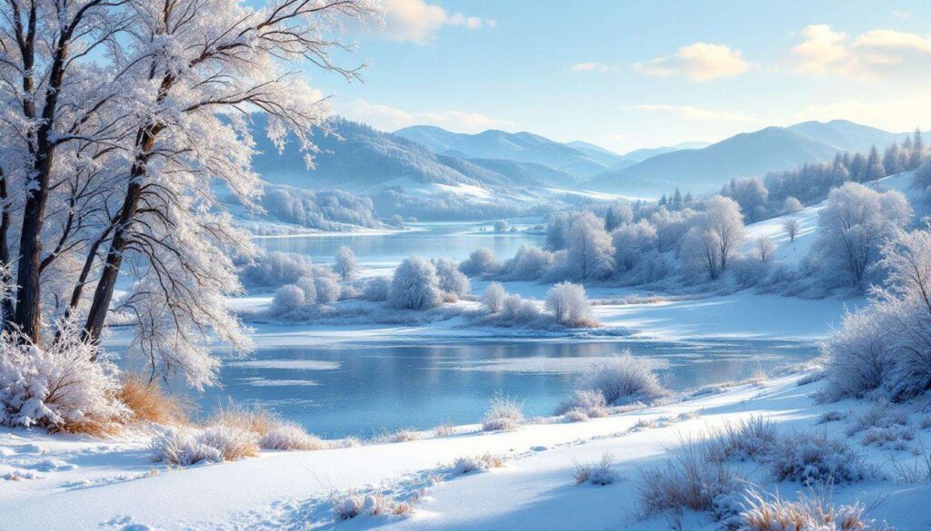
Meteorological agencies are issuing stark warnings about an impending winter season that could be one for the record books. A rare convergence of two powerful atmospheric phenomena is setting the stage for potentially severe and prolonged cold spells, prompting experts to urge public preparedness. This is not a forecast for a single storm but an outlook for a seasonal pattern that could have wide-ranging impacts on energy, transportation, and daily life across large swathes of the country.
Impact of global climate phenomena
The butterfly effect in meteorology
In the study of weather and climate, small changes in one part of the globe can trigger a series of events leading to significant consequences thousands of miles away. This concept, often likened to the butterfly effect, is central to understanding long-range forecasting. Global climate drivers, such as patterns of sea surface temperatures in the vast Pacific Ocean, act as the initial flap of the butterfly’s wings. They alter atmospheric pressure and wind patterns, which in turn influence the track and intensity of storms, as well as the position of the jet stream that separates cold polar air from warmer southern air. These are not isolated events but part of a deeply interconnected global system.
Beyond local weather
It is essential to distinguish between daily weather and these large-scale climate phenomena. While local weather describes the atmospheric conditions at a specific time and place, global climate drivers like the El Niño-Southern Oscillation (ENSO) set the background state of the atmosphere for months at a time. They make certain weather outcomes, such as a colder or wetter season, more probable. Understanding these drivers is crucial for sectors ranging from agriculture, which depends on predictable growing seasons, to energy, which must anticipate heating demand. They are the invisible hands that can tilt the odds toward a winter of unusual severity.
| Characteristic | Local Weather Driver | Global Climate Phenomenon |
|---|---|---|
| Timescale | Hours to days | Months to years |
| Geographic Scale | Regional | Global or hemispheric |
| Example | A cold front or a low-pressure system | La Niña or El Niño (ENSO cycle) |
| Impact | Determines daily forecast (rain, sun, wind) | Influences the probability of seasonal patterns |
Now that the large-scale influence of these phenomena is clear, it is crucial to define the specific drivers at play this season: La Niña and the polar vortex.
What are La Nina and the polar vortex ?
La Niña: The cool sister
La Niña is one phase of the El Niño-Southern Oscillation cycle. It is characterized by the anomalous cooling of sea surface temperatures in the central and eastern equatorial Pacific Ocean. This cooling is not just a local event; it has a profound impact on the atmosphere above it. The cooler water chills the air, causing changes in atmospheric circulation that ripple across the globe. The typical effects of La Niña can vary by region but often include:
- A shift in the position and strength of the jet stream over North America.
- Wetter-than-average conditions in some areas, such as the Pacific Northwest and parts of the Ohio Valley.
- Drier-than-average conditions in the southern part of the country.
- A tendency for colder winter temperatures in the northern states.
The polar vortex: More than just a buzzword
The term polar vortex has entered the public lexicon, often misunderstood as a winter storm. In reality, the polar vortex is a permanent fixture of our atmosphere. It is a large expanse of low pressure and extremely cold air that consistently circulates high up in the stratosphere over the polar regions. During a typical winter, this vortex remains strong and stable, effectively keeping the coldest air locked up in the Arctic. The danger arises not when the vortex is strong, but when it is weakened or disrupted. A disturbed vortex can wobble, stretch, or even split, allowing lobes of frigid, dense arctic air to plunge southward into the mid-latitudes, triggering extreme cold outbreaks.
While these two phenomena operate in different parts of the atmosphere, with La Niña in the tropical Pacific and the polar vortex in the stratosphere over the pole, recent research and modeling suggest they are not entirely independent. Their interaction is the key to understanding the heightened risks in the forecast for the upcoming winter.
The link between La Nina and the polar vortex
An atmospheric connection
The connection between La Niña and the polar vortex is a classic example of an atmospheric teleconnection, where events in one region affect the weather in a distant one. The chain reaction begins with La Niña’s influence on the troposphere, the lowest layer of the atmosphere where our weather occurs. By altering tropical rainfall and heating patterns, La Niña forces a change in the path of the jet stream. This reconfigured jet stream can generate powerful, upward-propagating atmospheric waves, known as Rossby waves. These waves travel from the troposphere into the stratosphere, carrying significant energy with them.
The domino effect
Once these atmospheric waves reach the stratosphere, they can wreak havoc on the polar vortex. They act like a brake, slowing the vortex’s west-to-east winds. If the disruption is strong enough, it can cause a phenomenon known as a Sudden Stratospheric Warming (SSW), where temperatures in the polar stratosphere can rise by tens of degrees in just a few days. This warming event severely weakens or even splits the polar vortex, breaking down the barrier that normally contains the arctic air. This allows that extremely cold air to spill southward, much like opening a freezer door. This domino effect is the crucial link that amplifies the risk of a severe winter beyond what La Niña would typically produce on its own.
Historical precedents
This interaction is not merely theoretical. Meteorologists have studied past winters that featured both a La Niña event and a major polar vortex disruption. While the connection is complex and a disruption is never guaranteed, historical data shows a higher probability of significant and sustained cold outbreaks across parts of North America, Europe, and Asia during such winters. These precedents lend significant weight to the current long-range forecasts, moving them from mere possibility to a scenario with a tangible, elevated risk.
Understanding this complex atmospheric chain reaction leads directly to the question of what specific impacts could be felt on the ground if this scenario unfolds as predicted.
Potential consequences for the country
Severe and prolonged cold snaps
The primary and most direct consequence of a polar vortex disruption is the outbreak of intensely cold arctic air. Unlike a typical one- or two-day cold front, these events can lead to prolonged periods of well-below-average temperatures lasting for a week or more. Such sustained cold places immense stress on infrastructure, from freezing water mains to buckling railway lines. It also poses a significant threat to public health, increasing the risk of hypothermia and frostbite, particularly for vulnerable populations and those who work outdoors.
Increased snowfall and winter storms
The altered jet stream pattern associated with this atmospheric setup does more than just usher in cold air. It also acts as a steering current for storms. The new path can direct more moisture-laden systems into the frigid air mass, creating ideal conditions for heavy snowfall and blizzards. Regions that find themselves on the boundary between the cold arctic air and warmer, moist air from the south could experience a higher frequency of significant winter storms, including the potential for disruptive ice storms if surface temperatures hover near the freezing mark.
Strain on energy infrastructure
Sustained, widespread cold leads to a dramatic increase in the demand for heating. This places a heavy burden on the nation’s energy grid, particularly for natural gas and electricity. A surge in demand can lead to significant price spikes for consumers and, in a worst-case scenario, could overwhelm the system’s capacity, leading to rolling blackouts or supply shortages precisely when they are needed most. The resilience of the power grid becomes a critical concern during these events.
| Impact Area | Normal Winter Projection | Projected Winter with La Niña/Vortex Link |
|---|---|---|
| Temperature Anomaly | Seasonal fluctuations around average | Potential for 15-30°F below average during outbreaks |
| Heating Demand | Baseline seasonal usage | Surges of +25% or more during cold snaps |
| Snowfall Potential | Average for region | Above-average to record totals in storm tracks |
| Infrastructure Risk | Low to moderate | High (frozen pipes, grid strain, travel disruption) |
With such significant consequences on the horizon, official forecasts and expert recommendations become paramount for both authorities and the public.
Weather forecasts and recommendations
Official long-range outlooks
National weather agencies have issued long-range outlooks that reflect this heightened risk. Forecasts indicate a higher-than-average probability of below-normal temperatures and above-normal precipitation for large portions of the northern half of the country. It is important to understand that these are probabilistic forecasts. They do not predict a blizzard for a specific city on a specific date months in advance. Instead, they indicate that the atmospheric ingredients will be in place to make such events more likely and frequent than in a typical winter. The public is advised to pay close attention to shorter-range forecasts as the season progresses for details on specific storm threats.
Expert advice for authorities
Emergency management officials and meteorologists are urging state and local authorities to begin preparations now. Key recommendations include:
- Public Works: Reviewing and updating snow removal plans, ensuring equipment is in working order, and confirming that supplies of salt and sand are adequate for a prolonged season.
- Energy Providers: Conducting stress tests on the power grid, ensuring natural gas reserves are sufficient to meet peak demand, and winterizing generation and transmission equipment to prevent failures in extreme cold.
- Public Health: Preparing communication plans to warn the public about cold-related health risks and establishing a network of warming centers for vulnerable residents in the event of widespread power outages.
While authorities prepare at a large scale, individual and household preparedness is equally critical in mitigating the risks of a severe winter.
Measures to take to prepare for winter
Securing your home
Preparing your home is the first line of defense against severe winter weather. Taking proactive steps can prevent costly damage and ensure your family’s comfort and safety. Before the first deep freeze, homeowners and renters should focus on key areas:
- Prevent frozen pipes: Insulate any water pipes located in unheated areas like basements, crawl spaces, or attics. Disconnect outdoor hoses.
- Check heating systems: Have your furnace or boiler professionally serviced to ensure it is operating efficiently and safely. If you use heating oil or propane, ensure your tank is full.
- Eliminate drafts: Use weather stripping or caulk to seal leaks around windows and doors to keep cold air out and reduce your heating bills.
- Prepare for outages: If you have a fireplace or wood stove, have the chimney cleaned. Ensure any backup heat sources, like space heaters, are in good working order and know how to use them safely.
Assembling an emergency kit
Every household should have a well-stocked emergency kit prepared for a power outage or a situation where you are unable to leave your home for several days. A 72-hour kit is the standard recommendation. You should also prepare a smaller version for your vehicle in case you become stranded. Essential items include:
- Water: One gallon per person per day for at least three days.
- Food: A three-day supply of non-perishable food that requires no cooking.
- Lighting: Flashlights or lanterns with extra batteries. Avoid using candles as a fire hazard.
- Communication: A battery-powered or hand-crank radio to receive weather updates.
- Warmth: Extra blankets, sleeping bags, and layers of warm clothing.
- First Aid: A complete first-aid kit and any necessary prescription medications.
Staying informed and safe
Knowledge and awareness are crucial safety tools. It is vital to monitor local weather forecasts from a trusted source, such as the National Weather Service. Sign up for local emergency alerts on your mobile phone. Heed all warnings and advice from officials, especially regarding travel. During a major storm, avoid being on the roads. If you must go outside in extreme cold, dress in layers, cover all exposed skin, and be aware of the signs of frostbite and hypothermia. Checking on elderly neighbors or relatives is also a critical part of community safety during severe weather events.
The convergence of La Niña and a potentially unstable polar vortex presents a credible threat of a severe winter. This outlook is driven by a complex atmospheric interaction that increases the probability of prolonged, intense cold and significant snowfall. The potential impacts on energy, infrastructure, and public health underscore the importance of heeding expert forecasts. Proactive preparations, undertaken at the community, municipal, and individual household levels, will be the key to navigating the challenges of the season ahead.